Flatiron Hike
On March 27, 2004 my son Kyle and I hiked to the top of Flat Iron in the Superstition Mountains east of Phoenix. Kyle and I had attempted that hike a few years back but we wimped out. I had made it to the top about 6-months prior so I knew it was do-able.
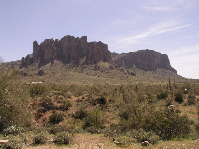
The following picture shows the view of the Superstions from the trailhead. The picture doesn't do the Mountains justice because they are a range of mountains 30 miles by 90 miles. The Flatiron is in the middle of the group of mountains.
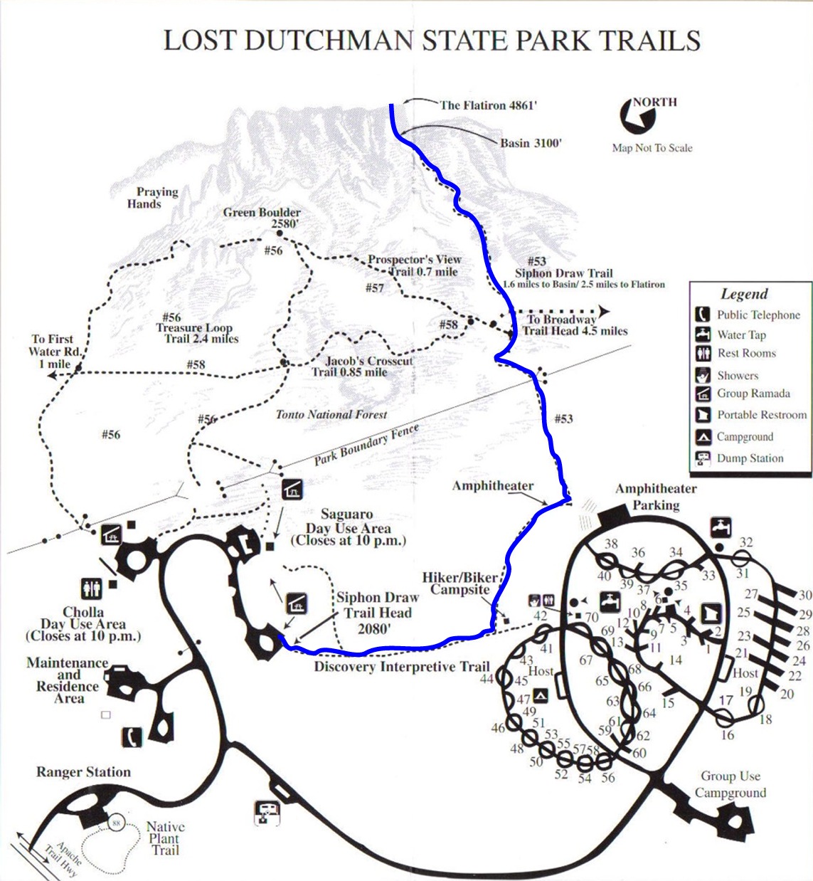
Access to the trailhead is by entering the Lost Dutchman State Park. The following map following shows the park and the various trails. I've highlighted the route Kyle and I took in blue.
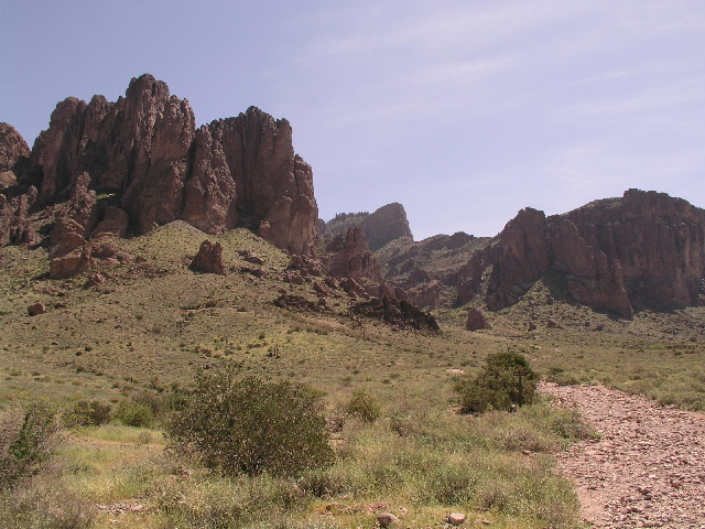
Here you can see the Flatiron. It's that little bump right in the middle of the picture. It doesn't look like much, huh but it's about a half-mile elevation change from this point.
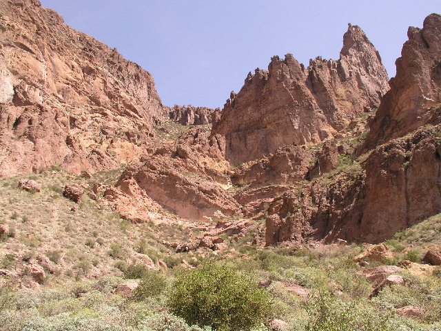
Here is shows Syphon Draw which is the route up to the top of Flatiron. At some points the trail gets very hard to follow. We actually spent about an hour off the trail. That was some rough going. After we got back on the trail things moved along much quicker.
Here's the view from about half-way up. We started on the desert floor.
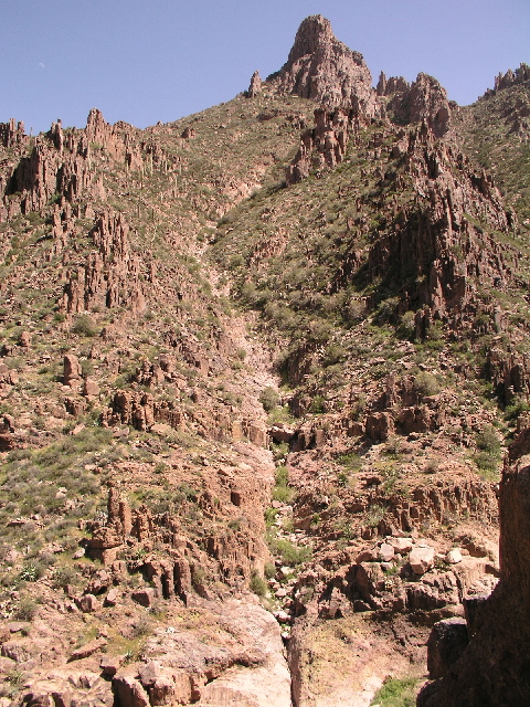
And here's the rout the rest of the way up. The second half was a lot tougher than the first.
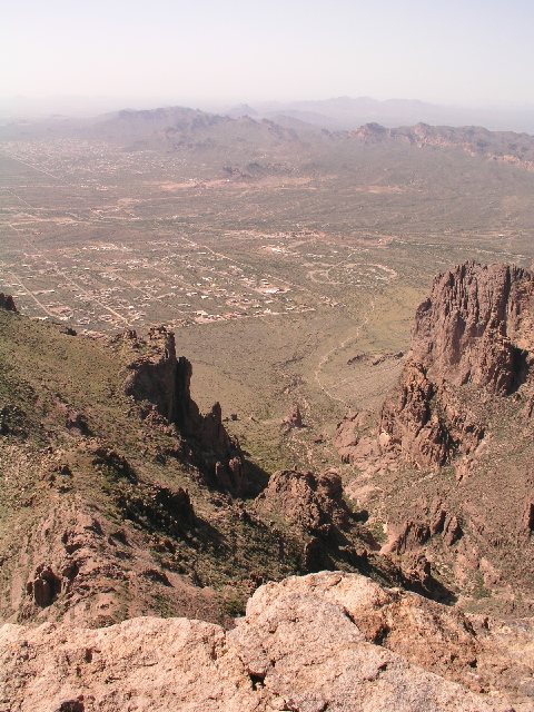
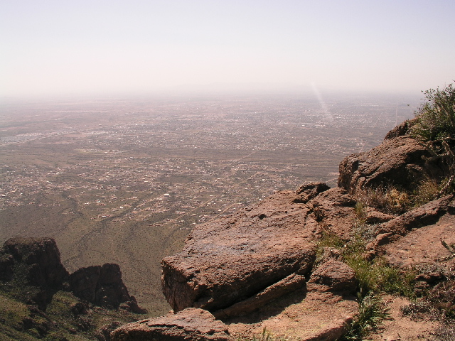
A few views from the top.
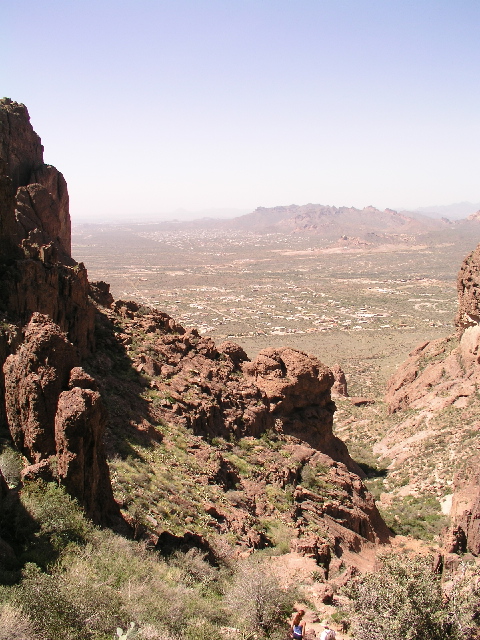
Looking back down the way we came:
This one is towards the south-east. We couldn't see any of this until we got o the top. I believe all of those houses are Gold Canyon.
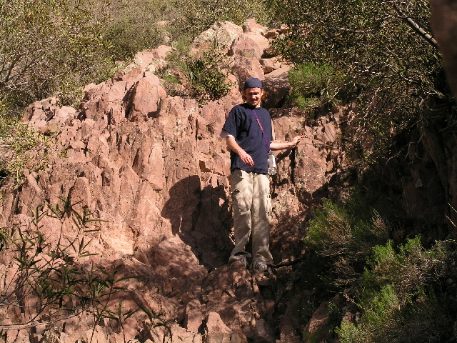
Kyle on the way down
We had a good time. It's about a 4 mile hike each way and about a 2600 elevation increase. We took our time and it took us right at six hours to go up and down.
Last updated Jan 11, 2009